As part of the Jetty Project, we wanted to move beyond a simple understanding of “communities” who are to be engaged with. There are many communities and they can all creatively offer different things to the project. Each community will have different understandings of what sustainability is and what the role of art is.
Initially, we identified three distinct communities:
• Artists and Designers
• Urban Professionals
• Geographic Communities
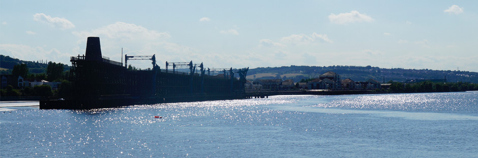
Not long after the project began, we undertook a stakeholder mapping activity to understand all of those who are concerned about Dunston Staiths, how they connected to one another, and the range of their concerns. Here, we are inspired by work on ‘Mapping Architectural Controversies’, which was part of the EU-funded MACOSPOL project.
This was done by analysing publicly available resources such as newspaper articles, policy documents, and websites. As the Jetty Project evolves we will be able to see how the different actors involved and the concerns expressed mutate and realign over time.
The image shows the initial mapping, which was created using the open-source NodeXL plug-in. The lines represent connections. The dots represent the actors – both human and non-human – who are weighted in terms of the number of times that they are appear in the public documents. The colour of the dots represents different concerns.